

TS
Topographic Survey
Detailed terrain, levels, contours and natural/man-made features for design and construction.
View service →Saudi topographic survey services using Total Station, GNSS/GPS RTK, drones and advanced geospatial workflows. From site levels and contours to CAD, Civil 3D, GIS and engineering-ready deliverables.
One focused surveying website built around the services Saudi contractors, consultants, developers and infrastructure teams actually search for.
Detailed terrain, levels, contours and natural/man-made features for design and construction.
View service →High-precision coordinates, setting out, alignment and as-built measurements.
View service →RTK control, benchmarks, georeferenced coordinates and large-area field capture.
View service →RTK drone mapping, orthophotos, point clouds, DEM/DTM and contours for large sites.
View service →Verified existing conditions, positions, elevations and CAD-ready records.
View service →Control networks, setting out, verification, levels and construction monitoring.
View service →Reliable cut/fill and stockpile volume calculations from field or drone data.
View service →Selected portfolio imagery from land surveying, mobile mapping and 3D digital-delivery work performed on projects in Saudi Arabia.
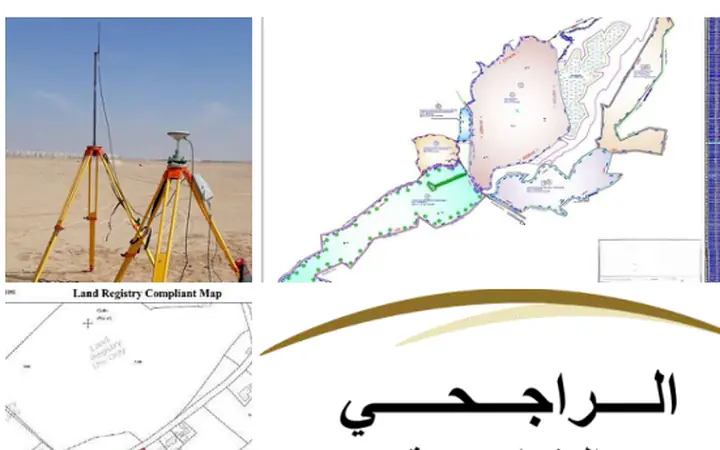

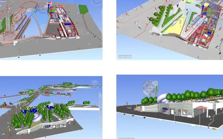
Contours • Spot Levels • Breaklines • Boundaries • Roads • Structures • Drainage • Visible Utilities
Small, congested or precision-critical sites may be best captured with Total Station and GNSS control. Large open sites can benefit from RTK drone mapping. Complex built environments may require laser scanning or a hybrid survey.
Review KMZ/CAD, survey limits, coordinate system, required accuracy, benchmarks and deliverables.
Establish or verify control, capture detail with the appropriate instrument mix, and perform field quality checks.
Process observations into CAD/Civil 3D/GIS outputs, contours, surfaces and report-ready documentation.
Riyadh is our operating base, with survey support planned according to project location, access, scale and mobilization requirements.
Infrastructure • roads • residential development • industrial sites • oil & gas • utilities • real estate • municipal works • mining • master planning.
See published project experience →A topographic survey records site elevations, contours, visible natural and man-made features, boundaries or survey limits, structures, roads, utilities visible at surface, and other agreed details needed for design or construction.
Depending on site conditions and accuracy requirements, our teams can use high-precision Total Stations, GNSS/GPS RTK systems, digital levels, RTK drones and 3D laser scanning technologies.
Typical deliverables include AutoCAD drawings, Civil 3D surfaces, contours, coordinate schedules, point files, orthophotos, DEM/DTM models, GIS data, PDF plans and survey reports.
Yes. We support projects across Saudi Arabia, including Riyadh, Jeddah, Makkah, Madinah, Dammam, Khobar, Jubail, Buraydah and other project locations.
Mobilization depends on site access, approvals, area, required control and deliverables. Send the location/KMZ, approximate area and required output so the survey plan can be prepared quickly.
Send the project location, approximate area and required deliverables for a survey plan and quotation.